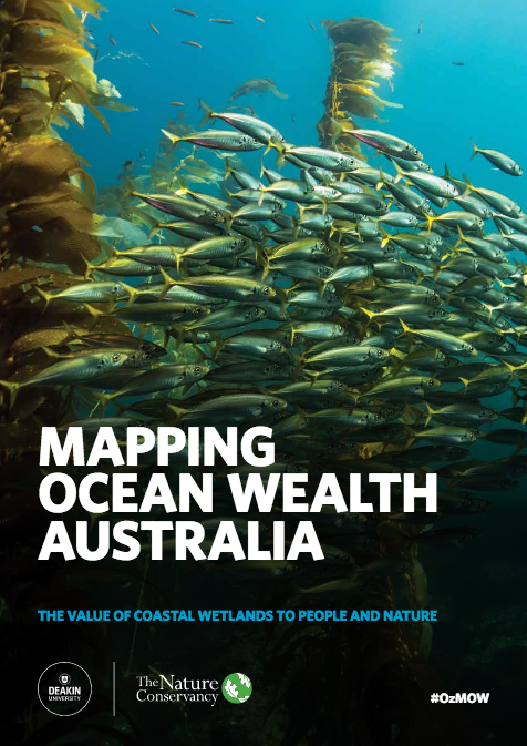
MAPPING OCEAN WEALTH
Valuing the wealth of our oceans
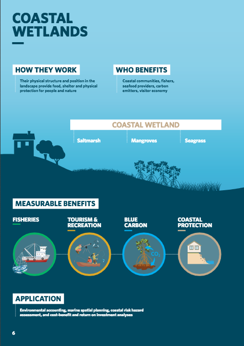
In Australia, Mapping Ocean Wealth has quantified and mapped the value ($) of services provided by Australian coastal wetlands.
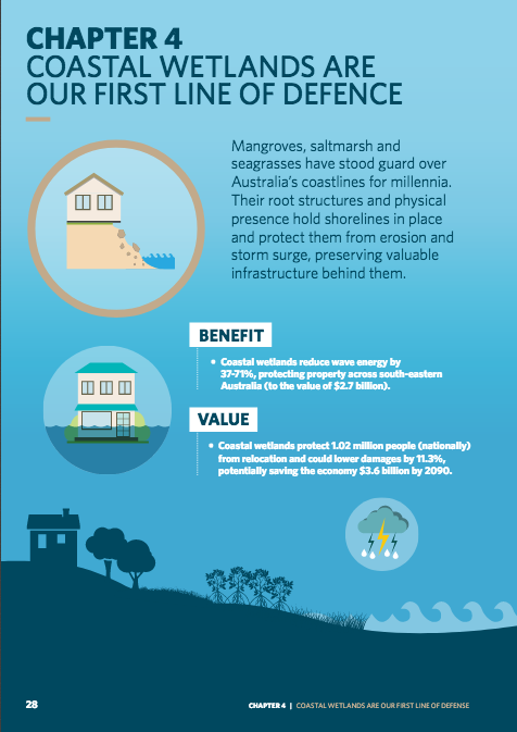
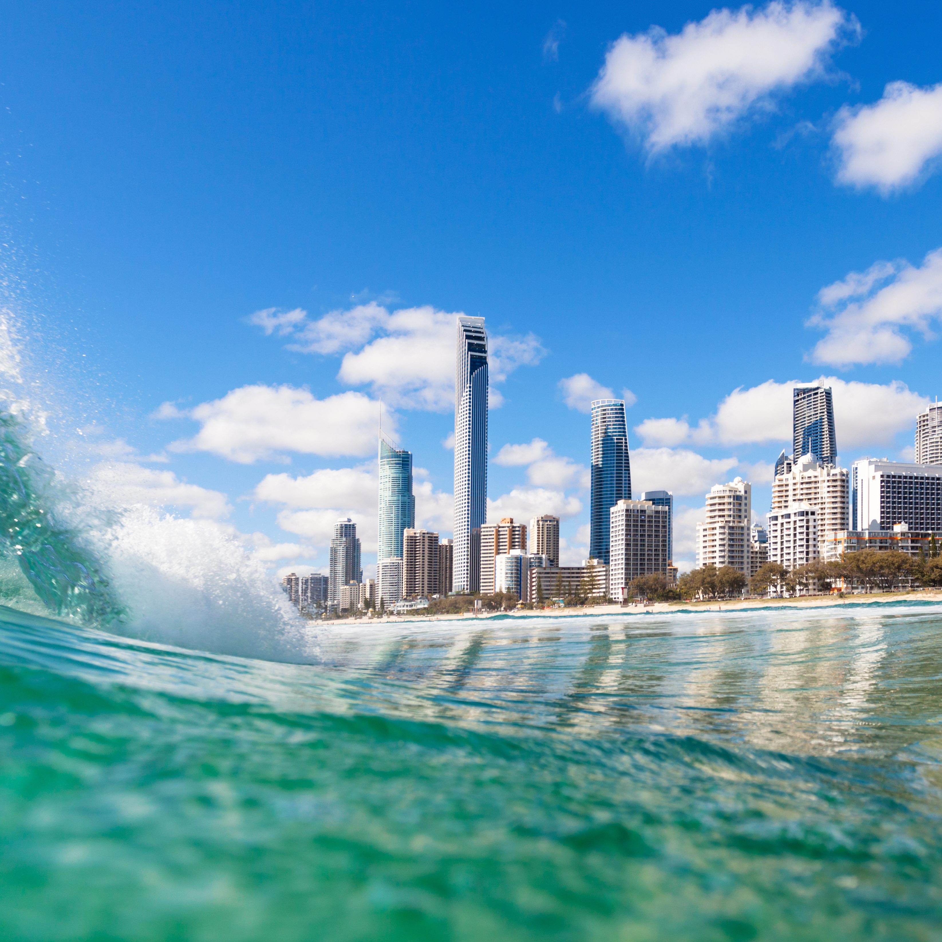
Coastal Protection
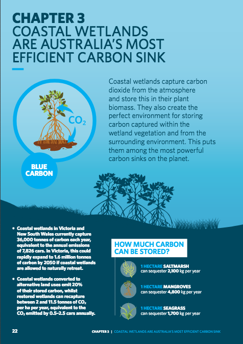
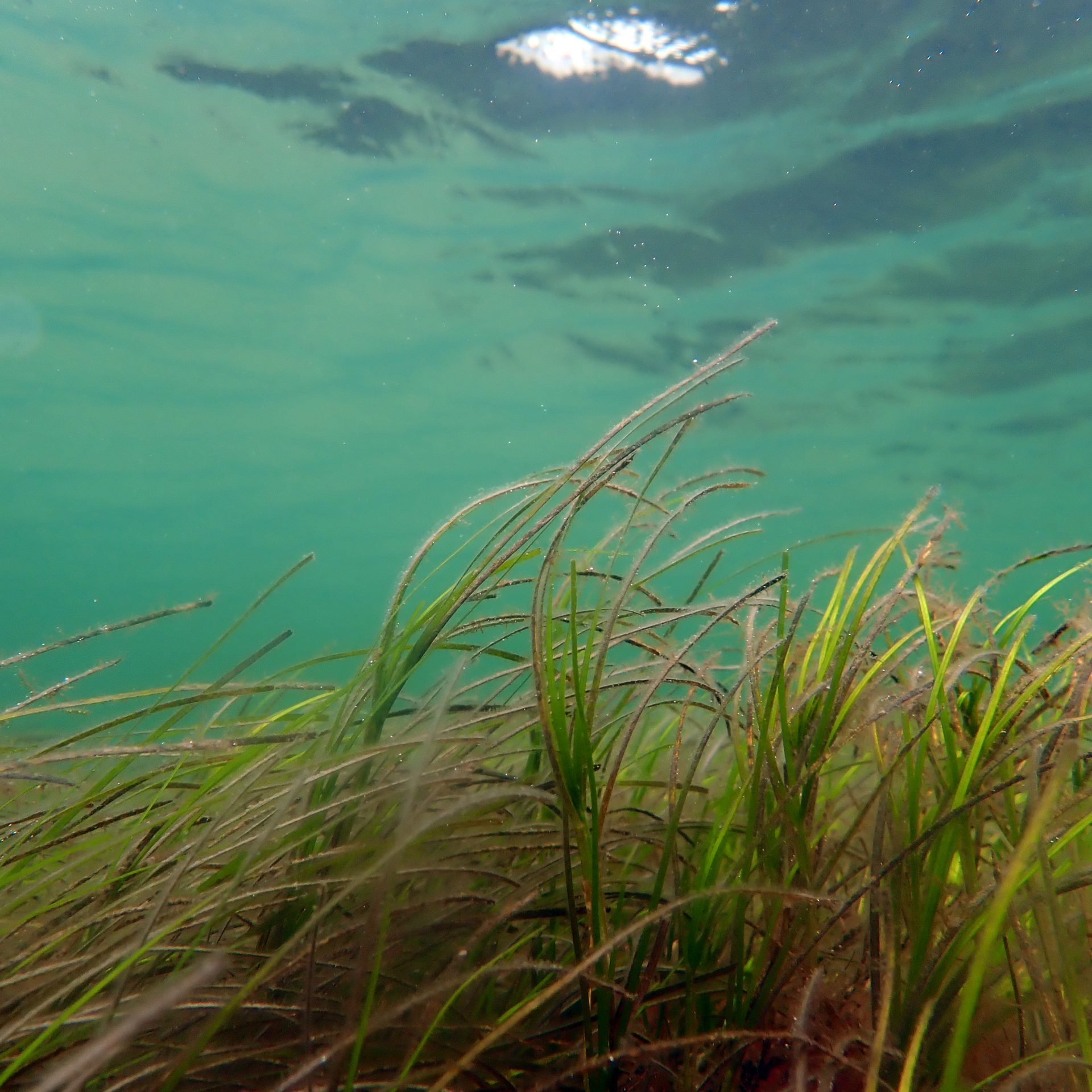
Carbon Sink
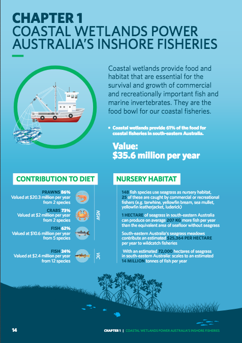
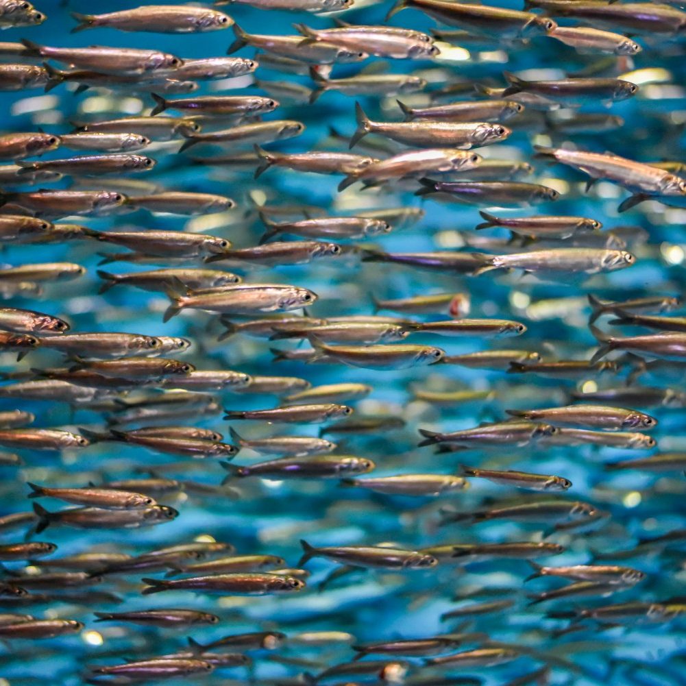
Fisheries
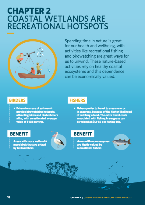
Tourism

Research Findings
The Australian Mapping Ocean Wealth report was published on Nov 25th, 2019. It represents three years of marine ecosystem service research, spatial mapping and communication for coastal wetlands in south-eastern Australia by several of Australia’s leading marine science and conservation institutions.
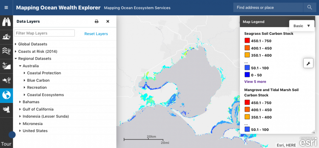
Results are also available via the Mapping Ocean Wealth portal developed by The Nature Conservancy. This tool provides access to the all maps created by the Deakin team.
Go to the MOWportal > ‘Data Layers’ (left menu) > Regional Datasets > Australia> and select from a range of maps related to Coastal protection, Blue Carbon, Recreation, and Coastal Ecosystems. All maps can be saved and exported (click on the tool icon underneath the zoom option).
Selected Media & Publications
- Quantifying fisheries enhancement from coastal vegetated ecosystems. Jänes, H., Macreadie, P.I., Zu Ermgassen, P.S., Gair, J.R., Treby, S., Reeves, S., Nicholson, E., Ierodiaconou, D. and Carnell, P., 2020. Ecosystem Services, 43, p.101105.
- Quantifying welfare gains of coastal and estuarine ecosystem rehabilitation for recreational fisheries. Huang B, Young M,Carnell P, Conron S, Ierodiaconou D, Macreadie PI, and Nicholson E. 2019. Science of the Total Environment. https://doi.org/10.1016/j.scitotenv.2019.134680
- Stable isotopes infer the value of Australia’s coastal vegetated ecosystems from fisheries. Jänes H, Macreadie PI, Nicholson E, Ierodioconou D, Reeves S, Taylor M, Carnell PE. 2019. Fish and Fisheries. https://doi.org/10.1111/faf.12416
- Optimal soil carbon sampling designs to achieve cost-effectiveness: a case study in blue carbon ecosystems. Young MA, Macreadie PI, Duncan C, Carnell PR, Nicholson E, Serrano, Duarte CM, Schiell G, Baldrock J, Ierodiaconou. 2018. Biology Letters |
-
Uncovering the value of Australia’s coastal wetlands (Media release)
- Valuing Australia’s coastal wetlands (Media release)
Other publications related to #OzMOW are currently under review or in press. Once they are published they will be included here.
Contributing Scientists
Paul Carnell, Daniel Ierodiaconou, Holger Jänes, Jaya Kelvin, Peter Macreadie, Alejandro Navarro, Emily Nicholson, Mary Young (Deakin University); Simon Reeves, Chris Gillies, James Fitzsimons (The Nature Conservancy).
Project partners and Funding sources
The Mapping Ocean Wealth project is funded and supported by The Nature Conservancy, Deakin University, The Thomas Foundation, HSBC Australia, The Ian Potter Foundation, Government of Victoria, NSW Government and an ARC Linkage Project from the Australian Research Council.

